
19 Jun 2026
- 0 Comments
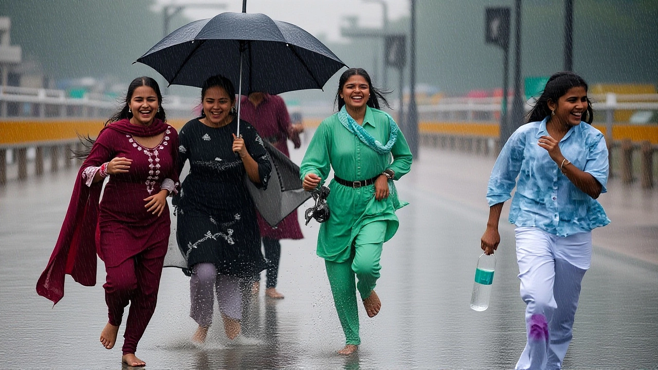
It’s finally happening. The monsoon has arrived in full force, stretching its wet fingers from the southern tip of Kerala all the way up to the dusty plains of New Delhi, Punjab, and Haryana. According to a comprehensive weather report published on June 18, 2026, by Aaj Tak, active weather systems are converging across the country, triggering widespread rainfall that offers a much-needed break from the scorching heat.
Here’s the thing: it’s not just a gentle drizzle. The India Meteorological Department (IMD) warns that rainfall activities are set to intensify over the coming days. Multiple weather systems are working in tandem, creating a humid atmosphere where clouds linger longer and rain falls intermittently but persistently. For millions who endured temperatures hitting 47°C in western Rajasthan just weeks ago, this shift is nothing short of relief.
The South-North Weather Corridor
The pattern is strikingly clear. In the south, Kerala and Tamil Nadu are experiencing light to moderate showers, with pockets of heavy rain expected. This isn’t isolated; the moisture-laden winds are pushing northward, affecting Karnataka, Andhra Pradesh, and even the Andaman and Nicobar Islands.
But wait—the twist is in the north. Usually, the monsoon takes time to reach the Indo-Gangetic plain. This year, however, a new Western Disturbance is approaching North-West India around June 18. This meteorological phenomenon, typically associated with winter rains, is interacting with the advancing monsoon trough. The result? Cloud cover and intermittent rain in Delhi, Punjab, and Haryana. It’s an unusual convergence, but one that signals a rapid cooling of the region.
Central and West-Central India aren’t left out either. Scattered rainfall is predicted for Madhya Pradesh, southern Chhattisgarh, Uttar Pradesh, Gujarat, and the Vidarbha region. While not every district will see uniform rain, the geographical spread is vast, indicating a nation-wide shift in atmospheric pressure.
Monsoon’s Next Move: East and Central India
If you’re wondering where the rain goes next, look east. The IMD has indicated favorable conditions for the Southwest Monsoon to advance into parts of Telangana, Odisha, Jharkhand, Bihar, and more areas of Chhattisgarh within the next 4 to 5 days.
This timeline is crucial. As of mid-June 2026, the monsoon is accelerating its northward and westward progress. Regions that have yet to see substantial rains should expect them soon. Meanwhile, areas already under the monsoon’s grip may see increased coverage. It’s a domino effect, triggered by high humidity and low-pressure zones forming over the Bay of Bengal and the Arabian Sea.

From Heatwaves to Harvests
To understand the significance of this rain, remember late May. Just three weeks prior, Delhi recorded a maximum temperature of 43.6°C, while western Rajasthan baked at 47°C. The IMD had issued yellow alerts for heatwaves, advising people to avoid midday sun. In Uttar Pradesh and Madhya Pradesh, red, orange, and yellow alerts were active as temperatures soared.
Contrast that with today’s forecast. In the northeast, states like Assam, Meghalaya, Nagaland, and Manipur are bracing for thunderstorms and heavy rain with gusts up to 70 km/h. Even hail and dust storms are possible in some pockets. It’s a stark reminder of the monsoon’s dual nature: life-giving water, but also powerful, sometimes destructive energy.
For farmers, though, this news is golden. Social media updates and agricultural reports highlight that this rainfall is excellent for Kharif crops like rice, maize, soybean, and cotton. The soil moisture levels are rising, creating ideal conditions for sowing. After a brutal pre-monsoon summer, the agricultural sector is breathing a sigh of relief.
What Experts Are Saying
Weather analysts note that the interaction between the Western Disturbance and the Monsoon trough is key here. “When these two systems meet, it often leads to erratic but significant rainfall in the northern plains,” explains a meteorologist cited in recent reports. “We saw this pattern hint earlier in the season, but now it’s fully realized.”
The drop in temperature is immediate. In cities like Delhi and Chandigarh, residents are reporting a noticeable chill in the evening air—a welcome change after months of oppressive heat. However, authorities advise caution. Flash floods remain a risk in low-lying areas, especially in Kerala and the northeastern hills.
Frequently Asked Questions
When will the monsoon reach Bihar and Odisha?
The India Meteorological Department predicts that the Southwest Monsoon will advance into parts of Bihar, Odisha, Jharkhand, and Telangana within the next 4 to 5 days from June 18, 2026. Conditions are currently favorable for this progression.
Why is it raining in Delhi and Punjab so early?
A new Western Disturbance is approaching North-West India around June 18. Its interaction with the advancing monsoon system is causing cloud cover and intermittent rainfall in Delhi, Punjab, and Haryana, leading to cooler temperatures earlier than usual.
How does this rainfall affect Kharif crops?
The rainfall is highly beneficial for Kharif crops such as rice, maize, soybean, and cotton. It increases soil moisture, providing ideal conditions for sowing and growth after the dry, hot pre-monsoon period.
Are there any severe weather warnings?
Yes. Heavy rain alerts are in place for Kerala, Karnataka, Tamil Nadu, and Northeastern states. Thunderstorms, lightning, and wind gusts up to 70 km/h are expected. Some areas may also experience hail or dust storms.
What was the temperature situation before the monsoon arrived?
In late May, temperatures reached 43.6°C in Delhi and 47°C in western Rajasthan. Heatwave alerts were active in Delhi, Uttar Pradesh, and Madhya Pradesh, causing significant discomfort and health risks before the rains began.